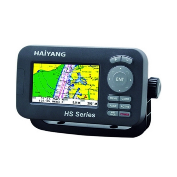
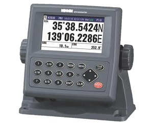
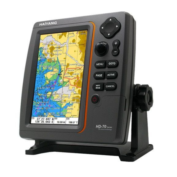
- LED display for maximum brightness for direct sunlight viewing.
- HAIYANG chart system provides information about depth, place names, tide schedule, buoys, ... in the waters of Vietnam and neighboring countries.
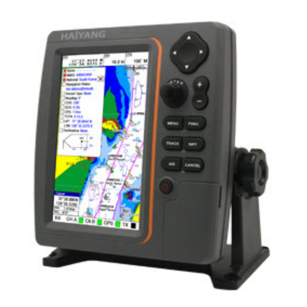
- AIS information of other ships: allows connection to external identification devices, then the machine provides information on AIS targets on the screen such as ship identification code, nationality ... and at the same time determines the distance. from ship to AIS target based on distance measurement loops.
- Windows CE operating system: easy to use with simple operations.
- Can be used outdoors: the device has waterproof and dustproof standards to protect the device when operating in harsh environments.
- Micro SD card support: used to store user data such as points, tracks and routes or to use for software upgrades and new charts.
- Vietnamese language: simple to use and exploit all functions of the machine.


 HOTLINE
 Contact

